
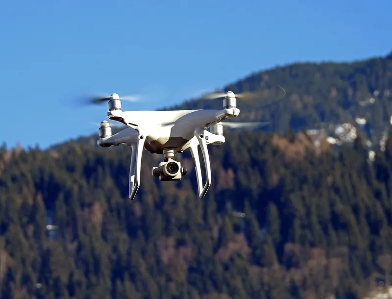
Equipment for Survey & Mapping
GNSS handhelds, mapping receivers, field data collectors and angle-compensating rangefinders for boundary survey, plot work and mapping under canopy.
What the work needs
Accuracy under canopy, not accuracy in the open
Every GNSS handheld quotes an accuracy figure measured with a clear view of the sky. Under closed canopy that figure is not what you get, and a receiver that holds three metres in a plantation is worth more than one that claims sub-metre in a car park. Multi-constellation reception and a decent antenna do more for you here than any software feature.
The second recurring error is slope. A distance measured down a hillside is not the distance that belongs in a boundary record, and a rangefinder without angle compensation will quietly put the wrong number there. Every rangefinder we list states whether it compensates.
For plot work, repeatability beats precision. A clinometer and girth tape that two different enumerators read the same way will produce a more useful dataset than an expensive instrument used inconsistently.
Supplied for this work
The 4 categories this work keeps coming back to
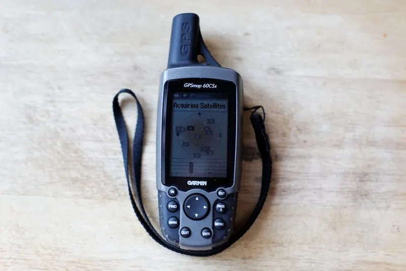 Handheld GPS & NavigationGNSS handhelds, mapping receivers and field data collectors for survey and patrol.Ask for options
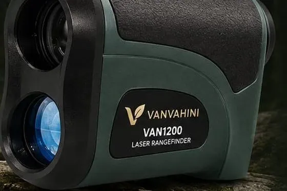 Laser RangefindersDistance, height and angle measurement for survey and mensuration.Ask for options Drones & Aerial SurveillanceSurvey and surveillance platforms with mapping payloads.Ask for options
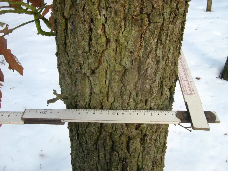 Field & Forest EquipmentMensuration tools, nursery equipment and field packs.Ask for options